KML files contain the geographic information that forms the Administrative Division shapes on your DevResults site. DevResults requires that data be associated with places (either points or areas) and geographic shapes are required to define the scope of your work and enable geographic aggregation of data.
Administrative Division KML files generally come in sets:
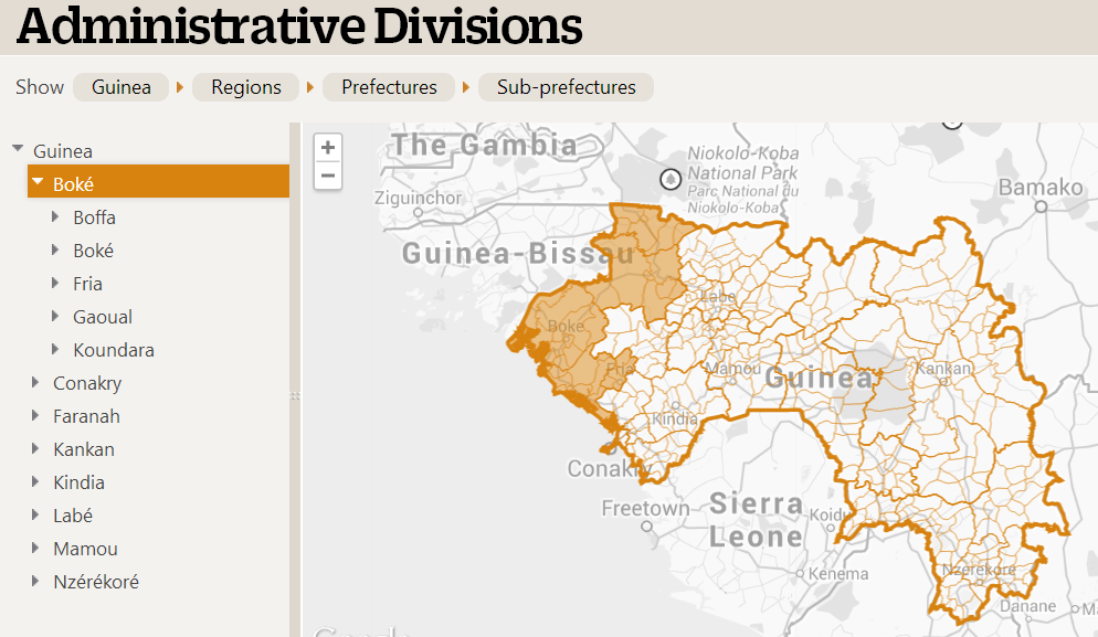
- One file for the country (Level 0)
- One file that contains the regions or largest administrative divisions (Level 1)
- Another file for the districts or prefectures (Level 2), and so-on.
You should go down to the smallest shape that data is actually reported for. For example, if you don't actually report any results per sub-prefecture, then you don't need to have sub-prefecture information.
When we set up your DevResults site, we acquire KML files for your country/area from sites like gadm.org, HDX/humdata.org, or geoboundaries.org. If the information is inaccurate or out of date, it is your responsibility to provide the KML or shape files with the information you want to use on your site. If you provide your own KML files, there are a few things to keep in mind that the larger the file you have, the slower map pages will load. 1-10 MB files are small and quite fast, 10-100 MB files are very detailed and load more slowly. This might be unavoidable if the only available maps are very detailed, or you work in a place with lots of coastline, such as island nations like Indonesia.
Didn't answer your question? Please email us at help@devresults.com.